


HONOLULU (Island News) -- Stormy weather conditions will arrive a little later than initial forecasts, anticipated to move down the island chain Thursday through Friday.
Cool and pleasant conditions will quickly transition today as winds shift out of the south-southeast ahead of a strengthening low approaching from the northwest. A High Wind Warning was activated for Oahu, Kauai and Niihau starting today at 6 p.m. until Friday at 6 a.m.
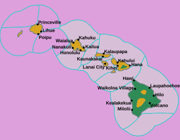
A map update of Hawaii for warnings, watches and advisories from Wednesday, Jan. 29, 2025 at 3:38 p.m. HST.
Conditions that include flash flooding, damaging south to southwest winds and strong to severe thunderstorms will precede the cold front. The strong winter low pressure system will pass just north of Kauai on Thursday as the front moves throughout the state through Friday.
From Friday night into the weekend, conditions will quickly improve behind the front. This will continue through early next week.
Visit www.weather.gov/hfo/ for the latest forecast.